Chiyu builds ground penetrating radar, pipeline & cable locators and coating fault detectors trusted by gas, oil, water, power and telecom operators — from municipal surveys to 200 km transmission pipelines.
Every instrument we ship is configured for the field conditions our customers actually face — congested urban ducts, deep trunk lines, corrosive soils and long transmission corridors.
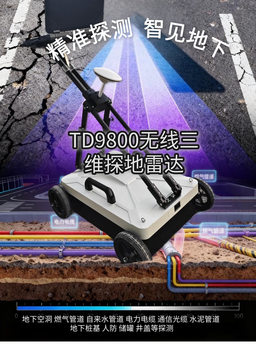
The world's first truly wireless GPR system. Dual-frequency and multi-channel options scan shallow ducts and deep trunk mains in a single pass.
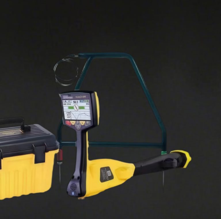
Locate live cables, metallic pipes and fibre with electromagnetic precision. 3D antenna receivers give a clear picture even on congested or distorted sites.
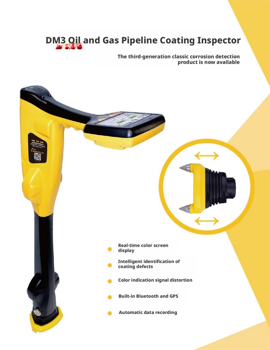
Find coating defects on buried oil and gas pipelines before they become leaks — ACVG / DCVG dual-technology surveys with real-time fault display and recording.
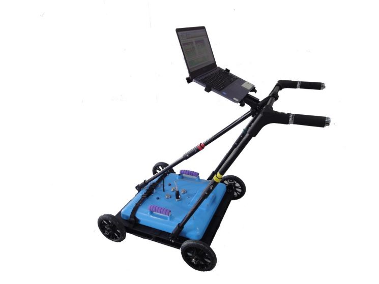
The TD9800-MFC integrates two antenna bands in a single cartridge. A single scan captures small-diameter shallow services and large-diameter deep trunk lines — no second pass, no re-mobilisation.
We follow the international utility colour code — because that is the language our customers work in every day.
Route mapping, coating fault surveys and depth-of-cover verification on distribution and transmission networks.
Leak detection, non-metallic pipe locating and network mapping for water utilities and contractors.
Cable route tracing and depth verification ahead of metro, road and foundation works.
Precise fibre and duct bank location to protect backhaul routes during civil works.
City-scale utility mapping and void detection that feeds directly into GIS and as-built databases.
Rebar, void and buried services investigation inside refineries, power plants and sensitive sites.
Selected work from 20+ years of underground detection across China — every case includes the equipment used and the outcome delivered.
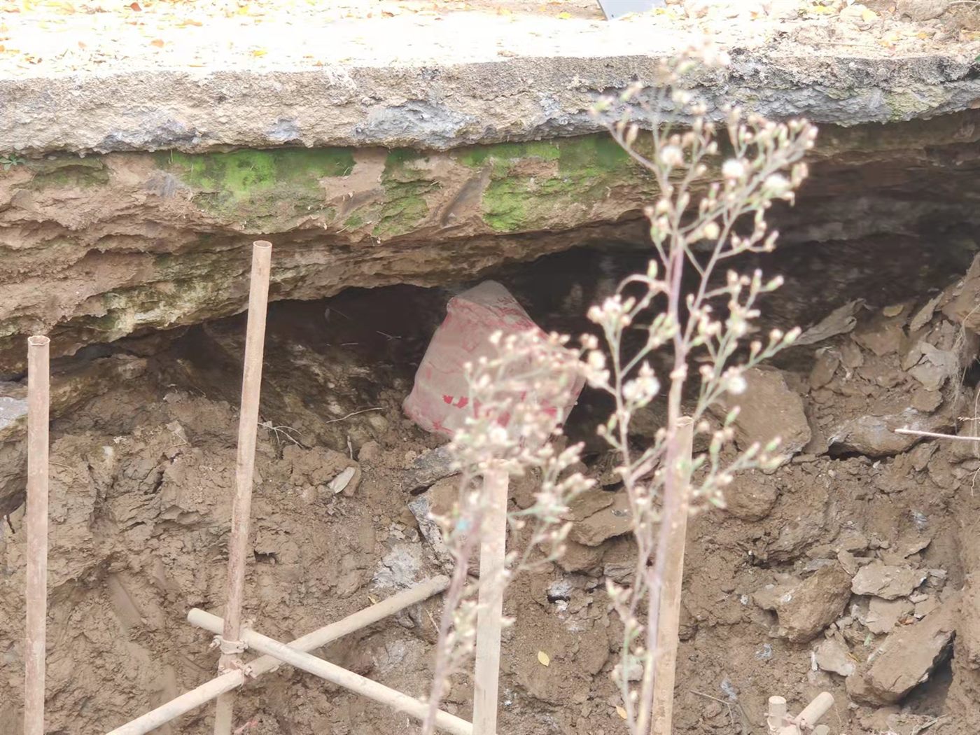
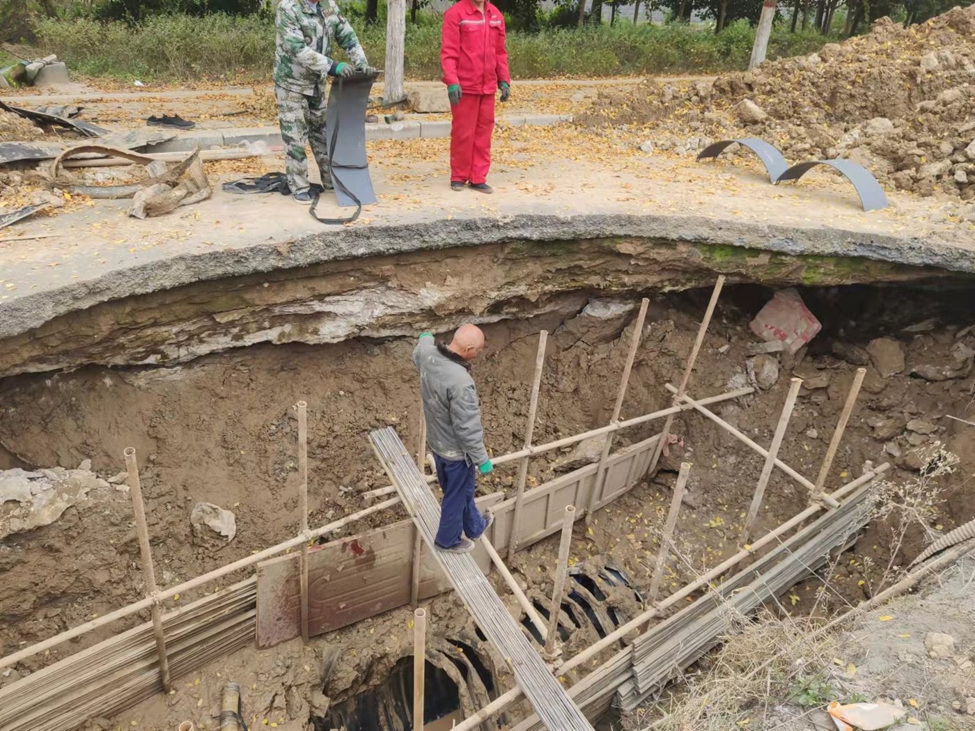
Detecting rebar gaps and voids beneath operational concrete aprons without closing the field.
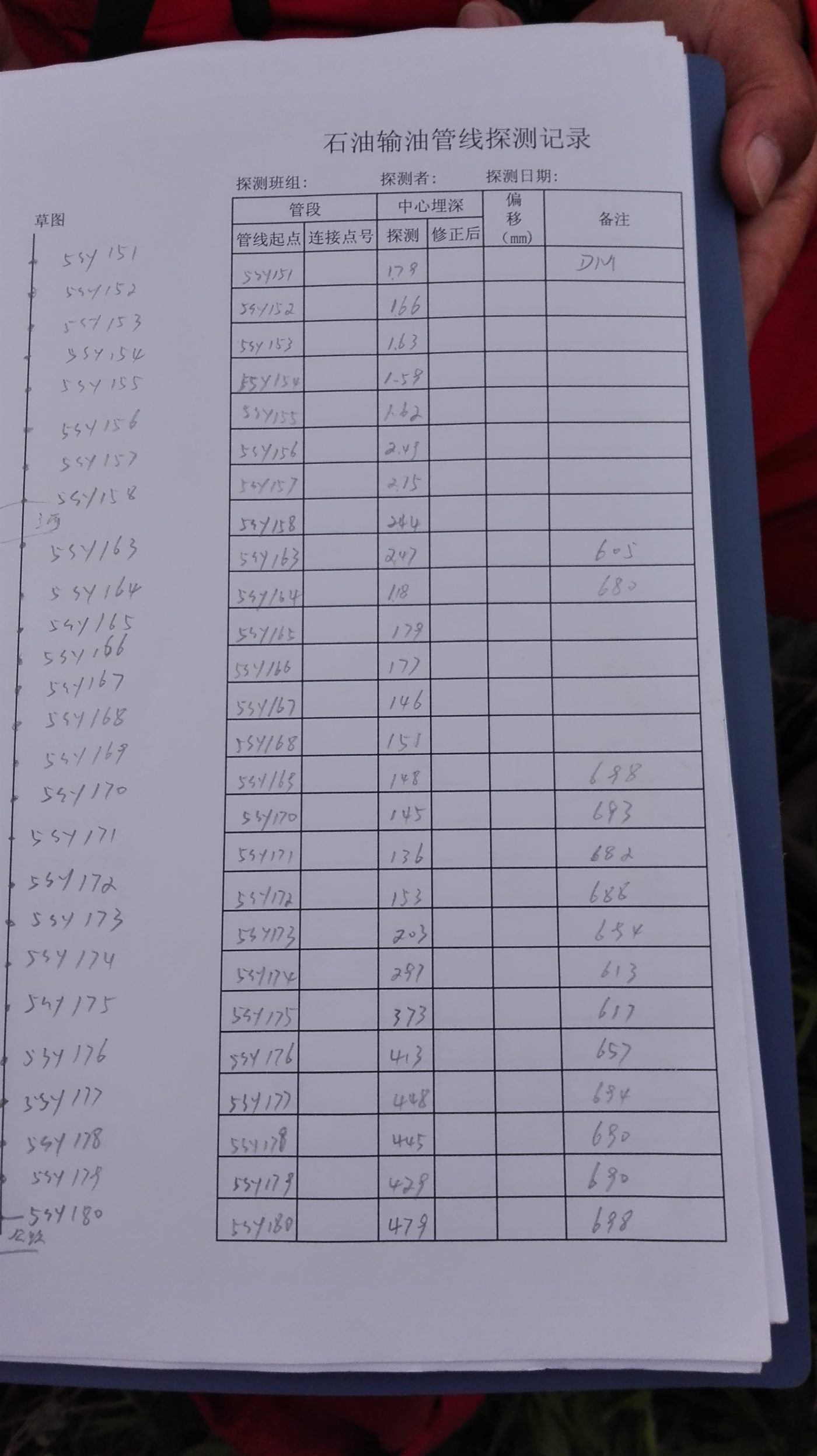
Full-length coating condition assessment on a long-distance oil pipeline in challenging terrain.
A complete underground utility database for a city district, delivered to GIS-ready standards.
Core radar and locator hardware developed and built in-house in Tianjin — configuration changes and OEM options are part of the conversation, not an exception.
±5 cm positioning and detection depth to 30 m, validated across 500+ projects rather than in a brochure.
English documentation, international logistics and remote commissioning support for customers across Southeast Asia and Central Asia.
A technical team that answers when you are on site — spare parts, training and troubleshooting within one working day.
Send your project conditions — target type, depth range, soil and access — and our engineers will come back with a configuration and quotation.
